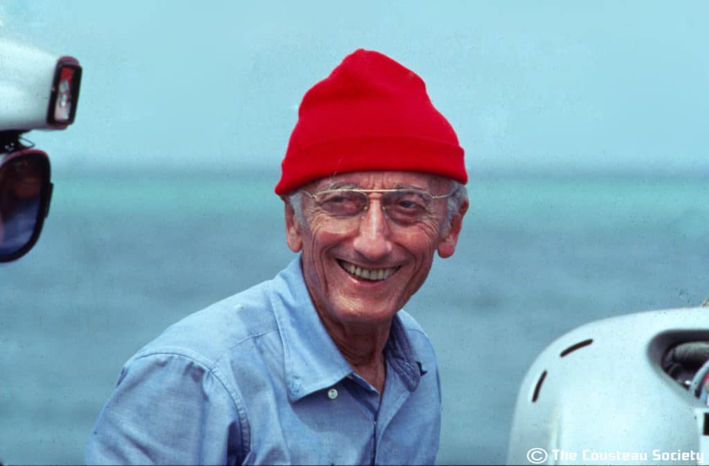
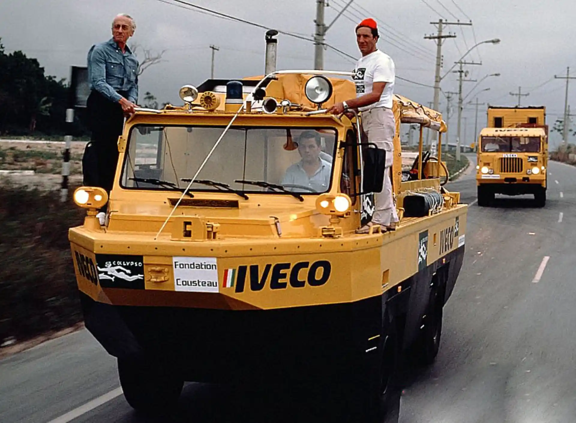
Jacques Cousteau and the Satellite That Mapped the Ocean
In the summer of 1975, famous ocean explorer Jacques Cousteau teamed up with NASA for an exciting mission: Could satellites measure the depth of the ocean’s shallow waters from space? At the time, this was a big question, and the answer would change how we understand and navigate our oceans.
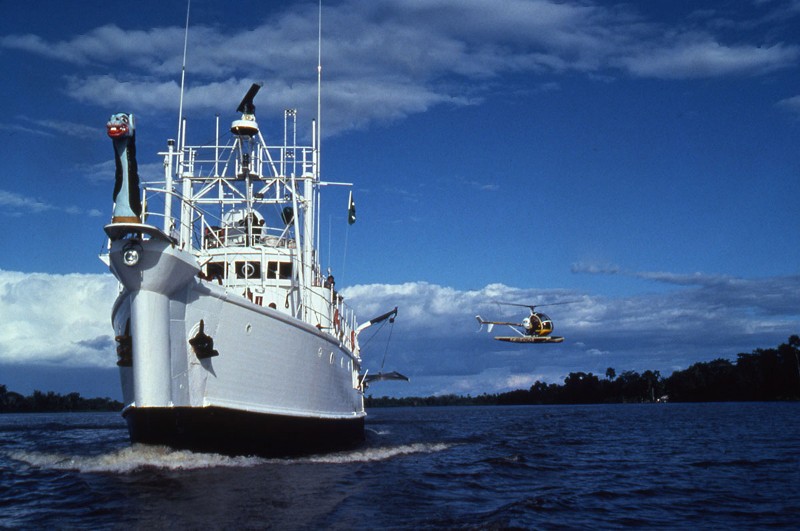
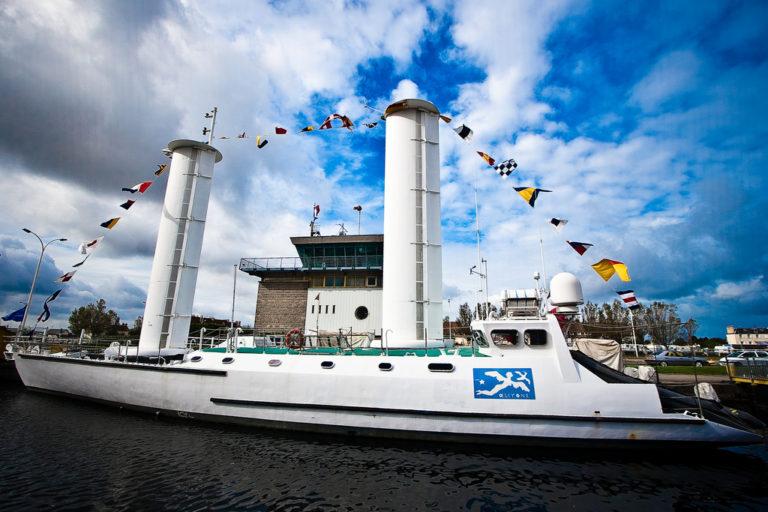
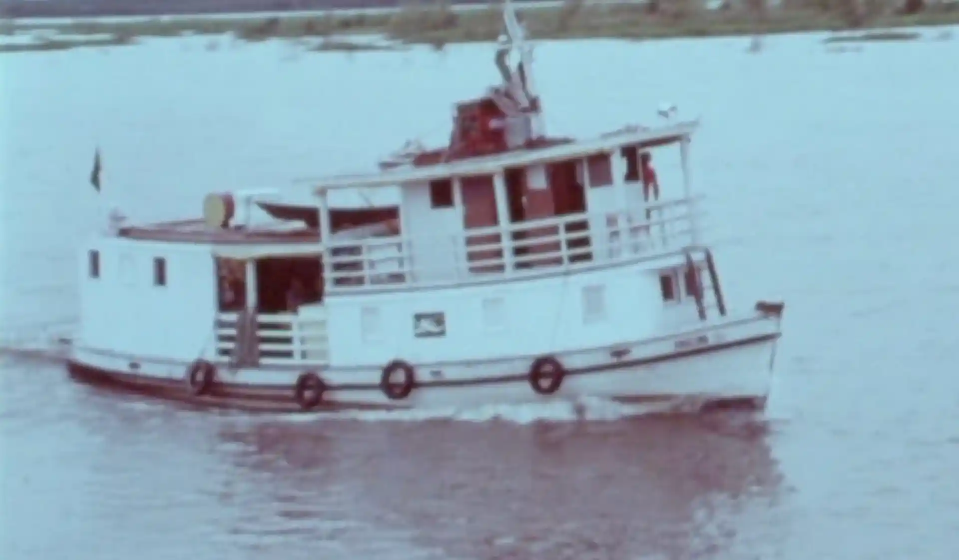
Over three weeks, Cousteau and his team, aboard the legendary ship Calypso, worked with NASA scientists to prove that the Landsat satellite could measure ocean depths up to 72 feet (22 meters). This breakthrough led to a brand-new way of mapping shallow waters called satellite-derived bathymetry. It made sailing safer by helping update nautical charts and protecting ships from running into uncharted reefs and shallow areas.
The Mission: Ocean Explorers Meet Space Scientists
The expedition took place in the clear waters between the Bahamas and Florida, where the ocean floor gradually changes from shallow to deep. Cousteau’s team on the Calypso worked side-by-side with NASA to gather precise measurements while satellites passed overhead.
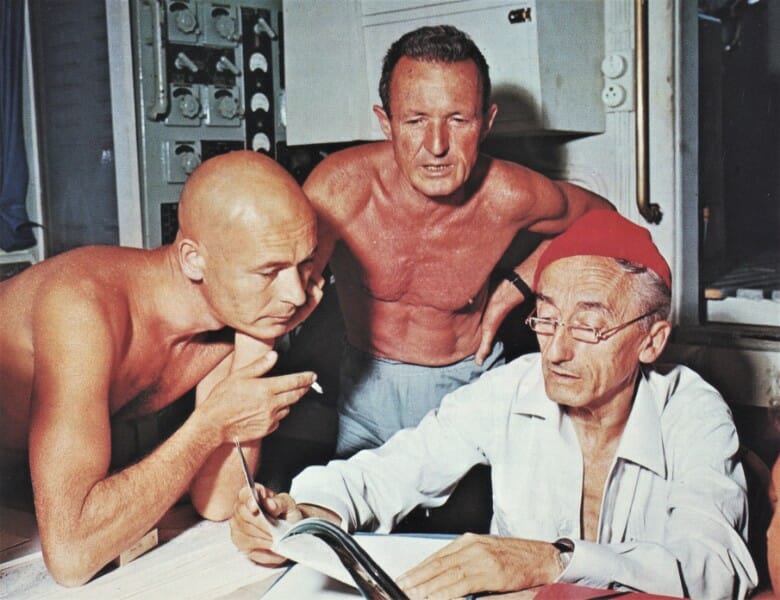
The team included:
- Russell Schweickart, Apollo 9 astronaut
- Jack Ford, son of U.S. President Gerald Ford
- NASA scientists and university researchers
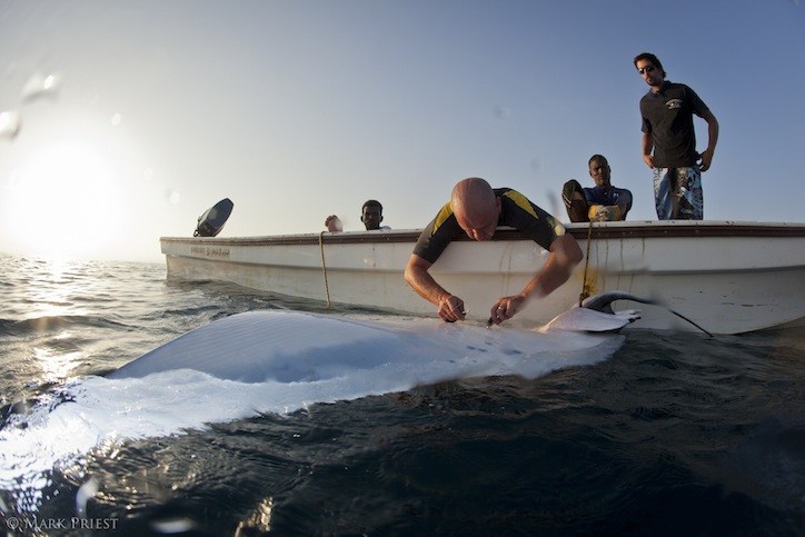
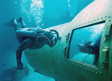
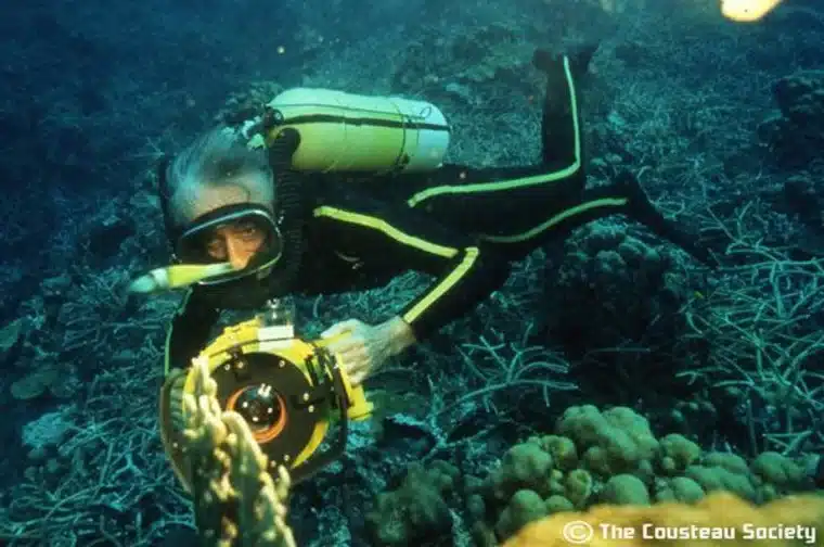
- Cousteau’s skilled team of divers, led by Chief Diver Bernard Delemotte
Each day, the Calypso sailed 90 nautical miles overnight to position itself for the satellite’s morning flyover. The team worked like clockwork:
- The Landsat satellite captured images of the ocean surface from space.
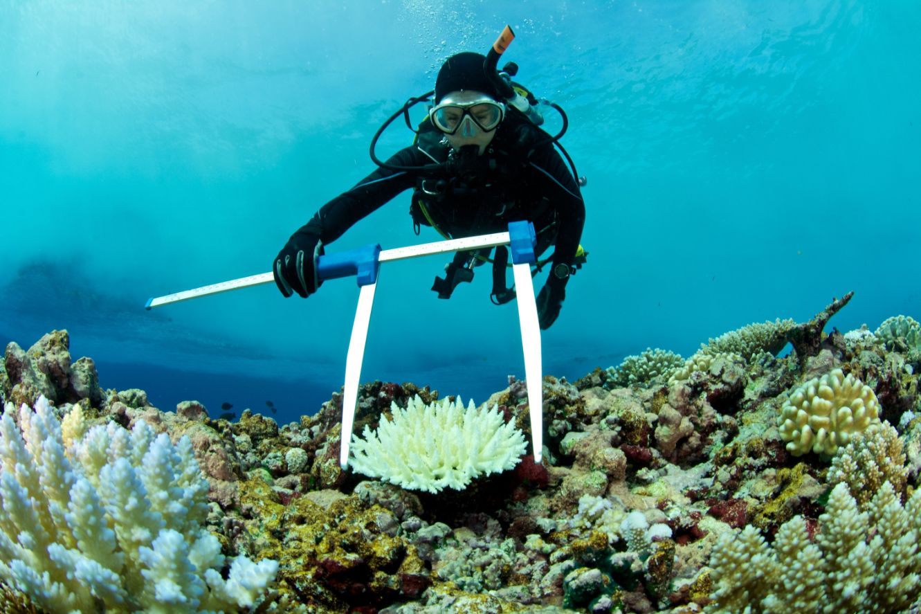
- Cousteau’s divers jumped into the water to measure water clarity, light passing through the water, and the ocean floor’s reflectivity.
- Shipboard sonar (a tool that uses sound waves) measured the water depth for comparison.
To keep everything synchronized, divers on small motorboats waited for the signal: “Go now!” — and they began their work at the exact moment the satellite flew overhead.
How This Mission Changed Ocean Navigation
Before this mission, sailors relied on outdated maps to avoid hazards like reefs and sandbars. Thanks to the collaboration between Cousteau’s team and NASA, scientists discovered that Landsat satellites could accurately measure shallow water depths in areas with clear water and bright seafloors.
This discovery allowed experts to update nautical charts, making shipping routes safer — especially for massive oil tankers that needed deep waters to avoid running aground.
Solving Ocean Mysteries: The Whitings
The team also investigated mysterious white patches in the ocean, known as whiting events. These milky areas were visible even from space, but their cause was unknown. Led by researchers from Texas A&M University, Cousteau’s divers ventured into the milky waters of the Little Bahama Bank to explore these strange occurrences.
The team observed fine white particles of calcium carbonate floating in the water, possibly stirred up by marine life like shrimp, sharks, or schools of fish. While the exact cause remains a mystery to this day, the team’s observations added valuable knowledge about these unique ocean events.
Why This Mission Still Matters Today
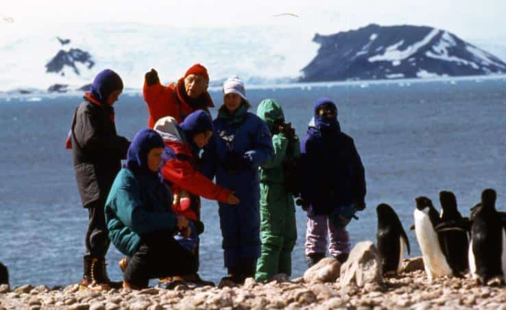
This expedition was more than just a test of technology; it showed what’s possible when scientists, explorers, and astronauts work together. Cousteau believed that space technology could help us better understand and protect the ocean, and this mission proved him right. Today, modern satellites like Landsat 8 and ICESat-2 continue to map Earth’s land and oceans from above.
The 1975 NASA-Cousteau expedition remains a shining example of teamwork and innovation. It showed how human curiosity and technology can come together to unlock the secrets of our planet.